
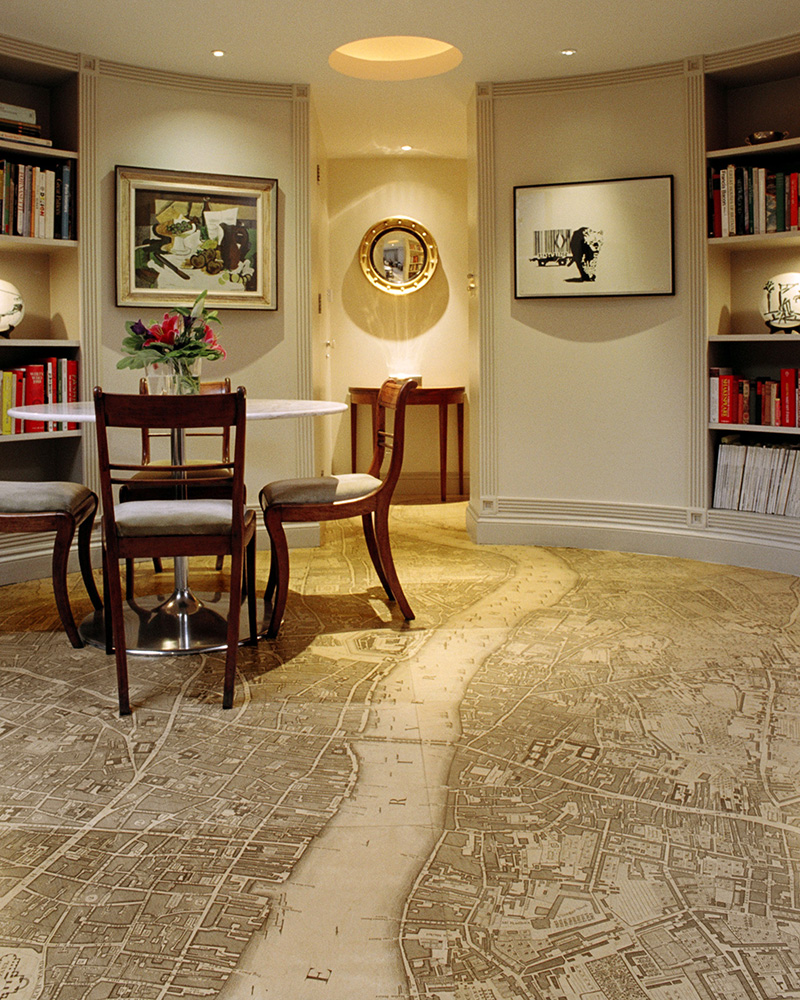
JOHN ROQUE CARTOGRAPHER’S FLOOR
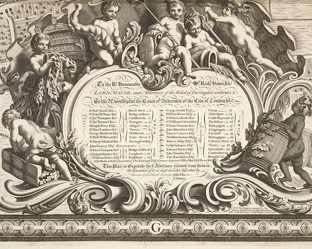
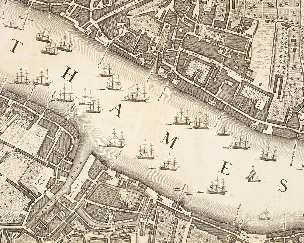
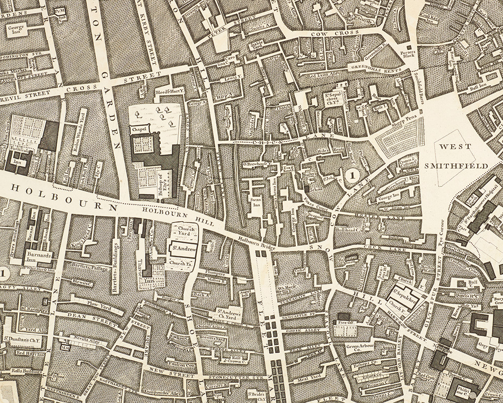
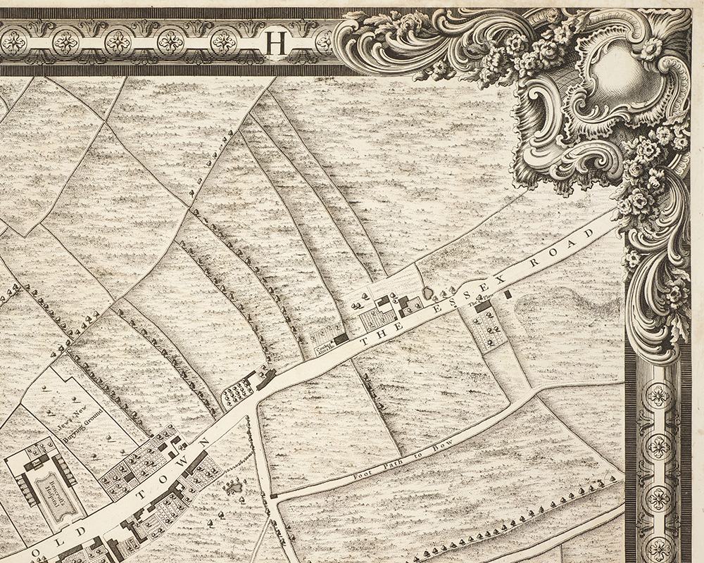
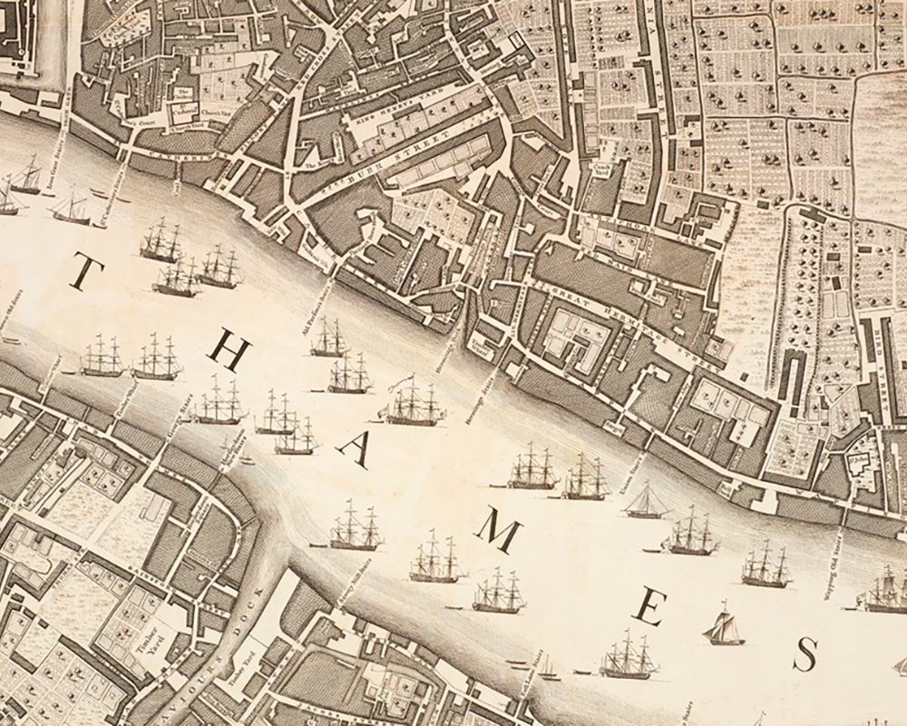
In 1736 cartographer John Rocque commissioned a survey London and John Pine engraved 24 individual sheets at scale of 26inches to a mile (1:2437) and after 10 years work published the definitive Georgian map of the City of London in 1746.
A prospectus in 1740 described the endeavour:
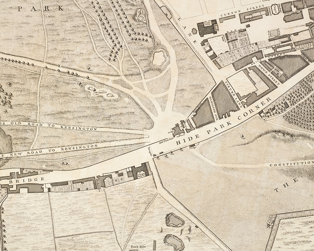
“This Plan will be contained in 24 Sheets of the best Imperial Paper, being near 13 Feet in Length, and 6 Feet and an Half in Depth, and will extend from West to East, on the North Side, from beyond Mary-bone Turnpike, by Tottenham-Court, the New-River-Head, Hoxton and Part of Hackney to near Bow: From thence, Southerly, by the Easternmost Parts of Mile-End and Lime-House, cross the River Thames to Deptford Road; from whence the Southern Side will extend Westerly, by Newington and Vaux-Hall, to that Part of Surrey which is opposite to Chelsea-College; which Building, together with some Part of Knights-Bridge and Hyde-Park, will be included in the Western Limit”
The map was sold to private libraries and collectors, predominantly in the United Kingdom but also to discerning collections around the world. The Library of Congress has a copy.
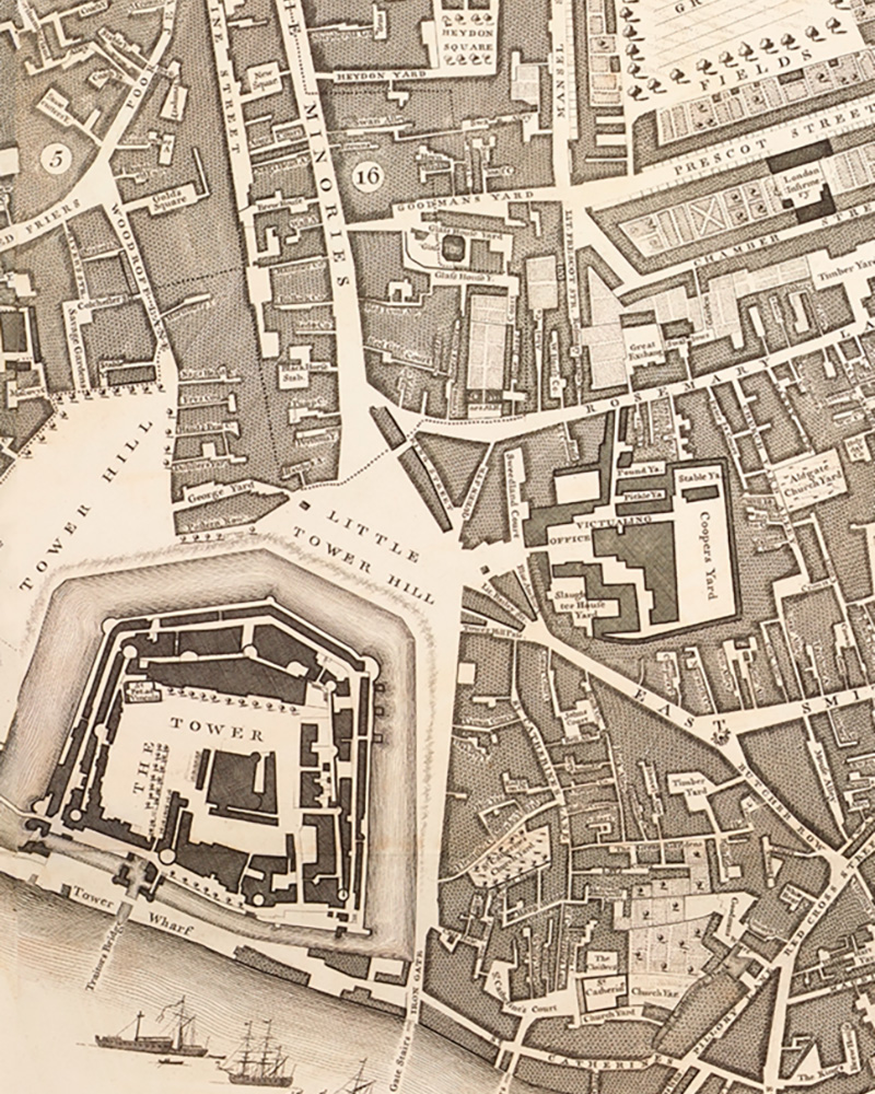
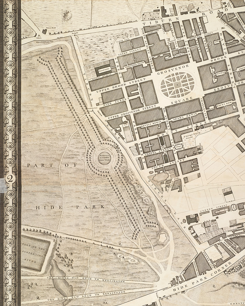
Details to look for: London Bridge the only working bridge spanning the River Thames, Westminster bridge under construction which opened in 1750, The Tower of London, Tybourn tree which were the Gallows; the hangman’s noose near the current location of Marble Arch, Buckingham Palace; the original townhouse built in 1703 for the Duke of Buckingham, the existing Palace for the royal Family was not built until 1820, Chelsea Water Works, the Foundling Hospital among others.
Back in 2003 I reproduced the map in digital form for a floor. In 2025 an original set of the 24 sheets were re-photographed and using digital technology joined together. The digital map can be scaled and printed on marine grade wood ply panels, lacquered and laid as a floor. It is also available as framed panels to decorate a wall or made into a screen.